


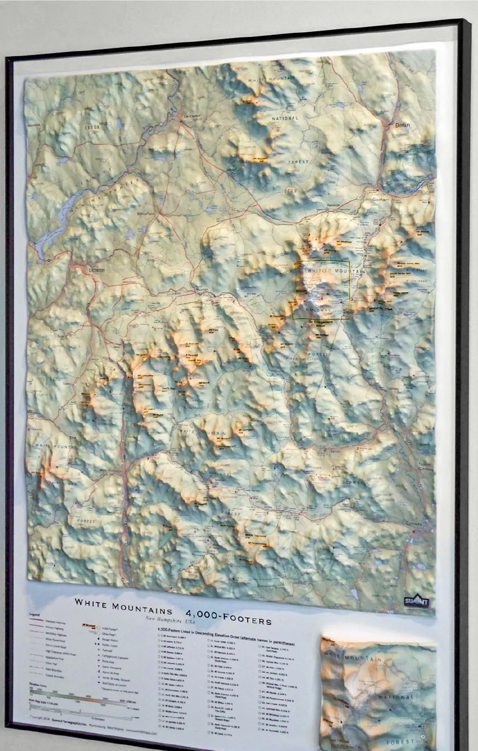
This stunning, three-dimensional topographic wall map by Summit Terragraphics is the first raised relief map of New Hampshire’s White Mountains to be produced in more than a century.
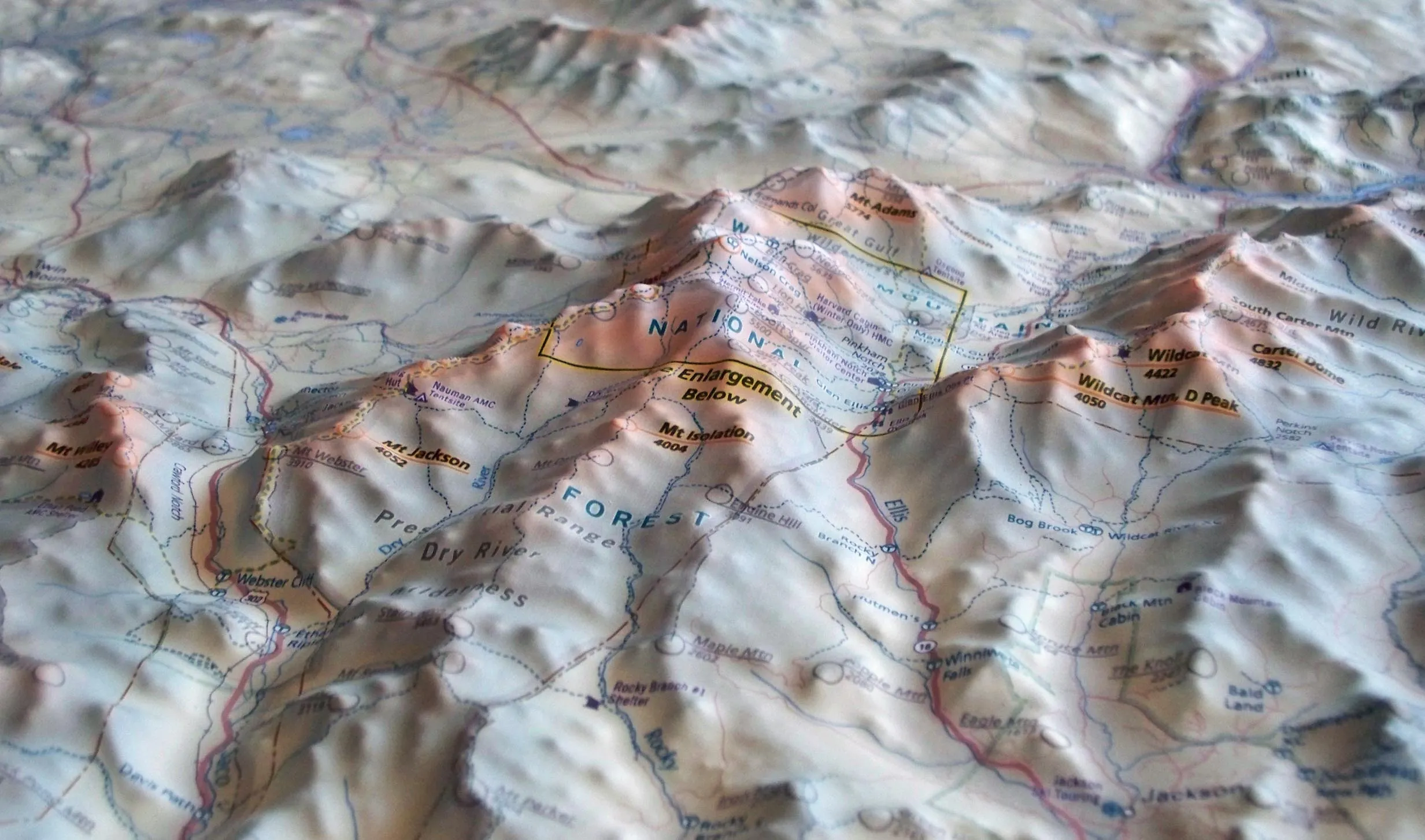
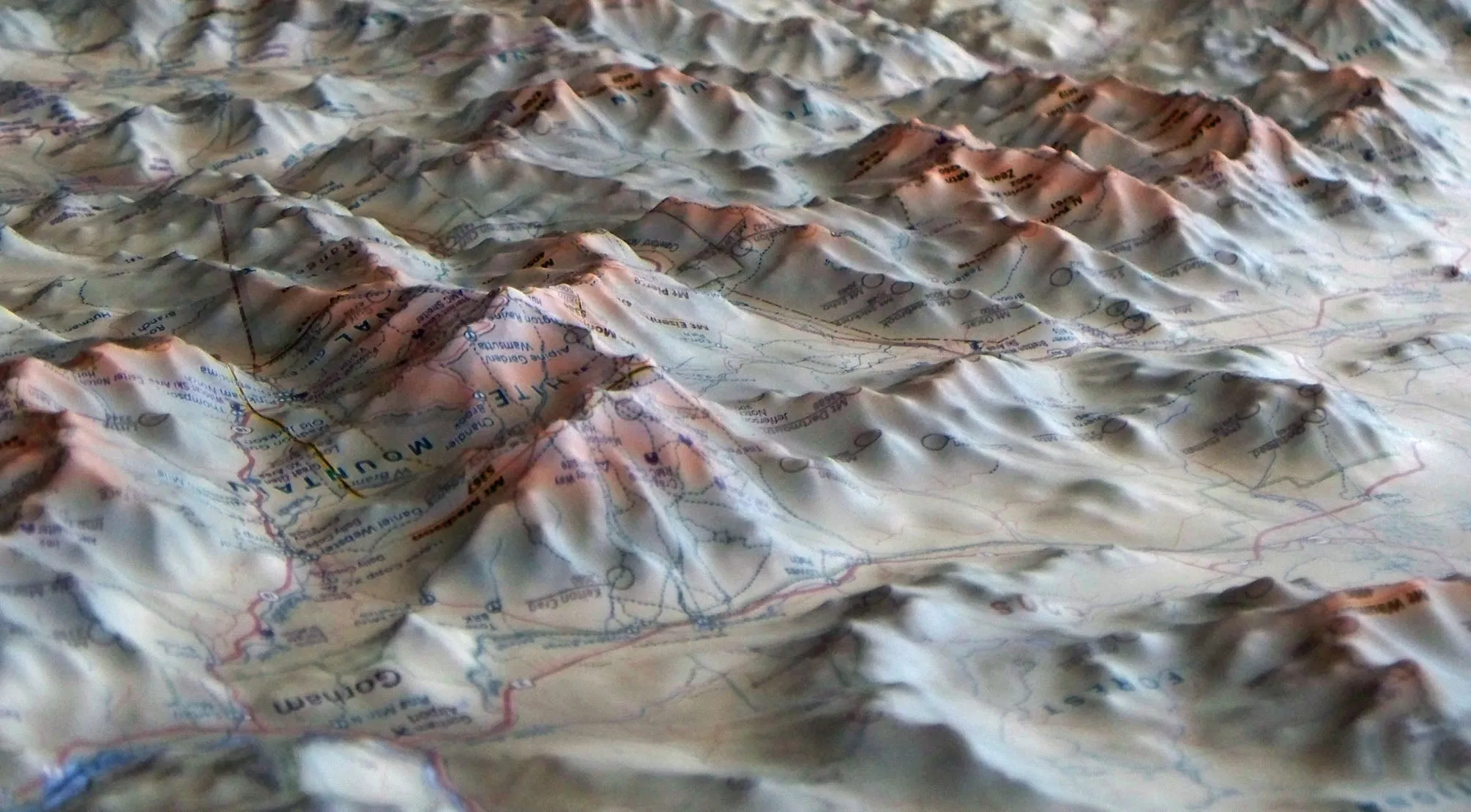
The White Mountains map is first printed on a sturdy plastic sheet. That 2-dimensional map is then thermo-formed according to a proprietary technique to conform to a detailed terrain model, creating a precisely molded 3D map.
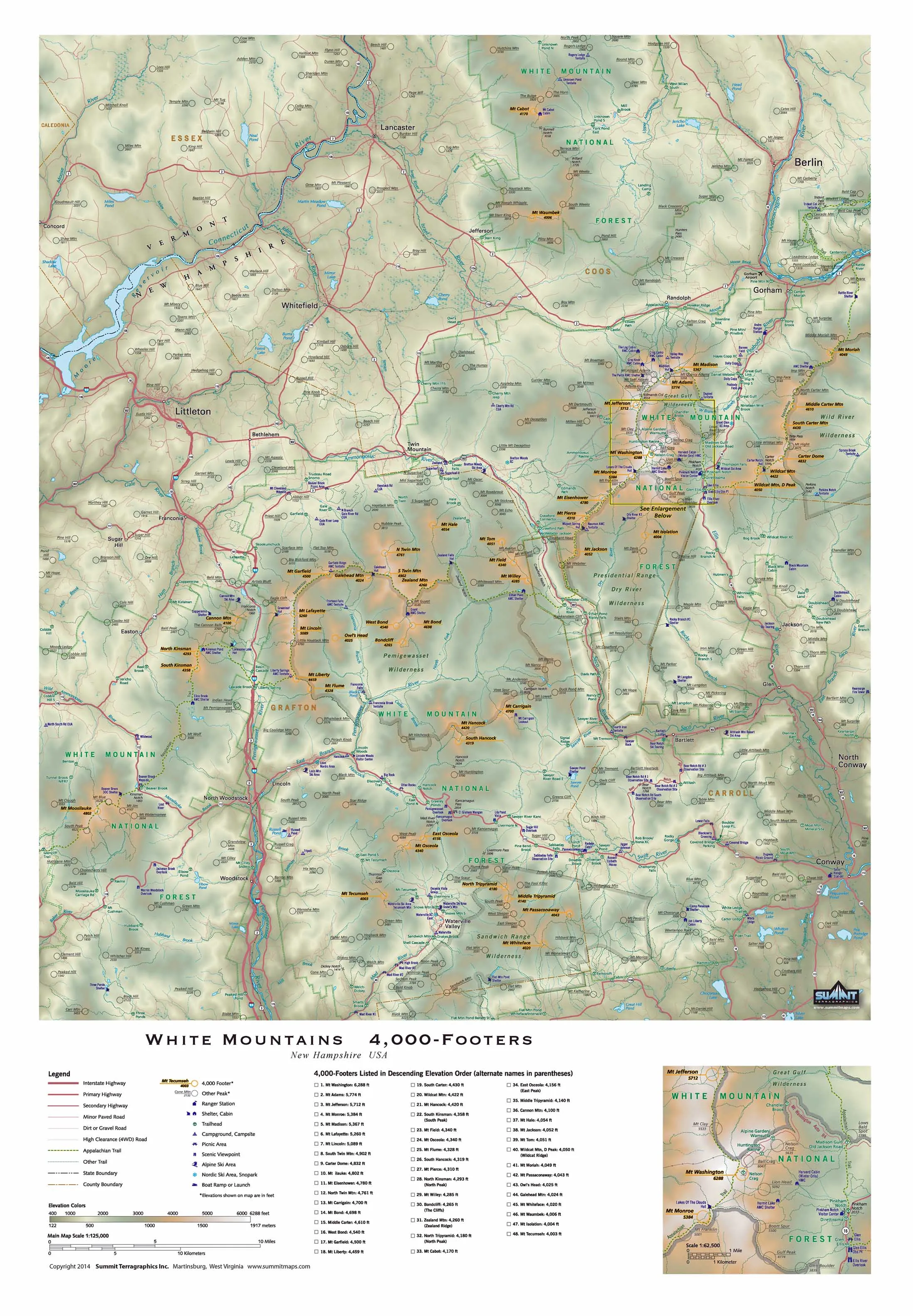
Each of the 48 “4,000-Footers” is labeled, as are hundreds of lower peaks, trails, shelters, trailheads, key geographic features, roads, creeks/streams/ponds, and other landmarks. In the corner of the 32” x 22” map is a small 3D inset map that shows a close-up of Mount Washington in more than 1.3” of relief. Frame not included.
NOTE: Due to the size, shape, and delicate nature of the 3D map, this item requires specialized shipping and handling that costs $12.00. Please allow us 5-7 business days to process your order. Shipping typically takes 3-5 days.
This map has a large and detailed legend block and you will see some warping of the text. This is an inevitable effect of the process of creating thermal-formed raised relief maps, and its creators take care that it does not affect the accuracy of the map itself.


")
")


